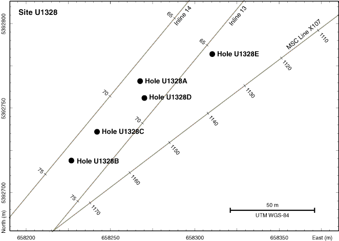
Figure F10. Location holes drilled at Site U1328 showing track lines with seismic survey shotpoints. Axes are universal transverse Mercator (UTM) projection easting and northing coordinates using the WGS-84 reference. MCS = multichannel seismic.

Previous | Close | Next | Top of page