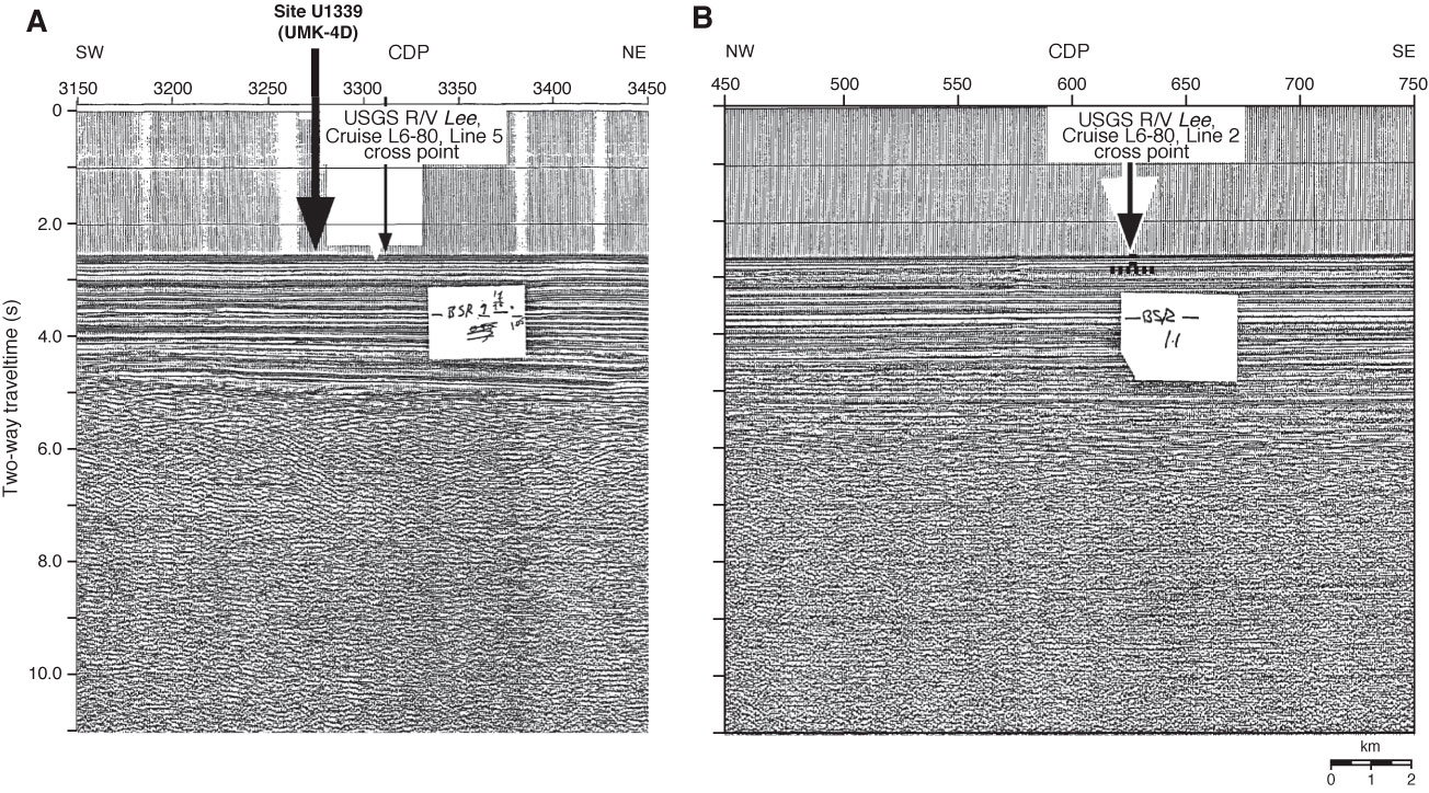
Figure F3. Close-up seismic profile around Site U1339. A. U.S. Geological Survey (USGS) Lee Cruise L6-80 Line 2, a southwest–northeast line across Site U1339. B. USGS Lee Cruise L6-80 Line 5. BSR = bottom-simulating reflector.

Previous | Close | Next | Top of page