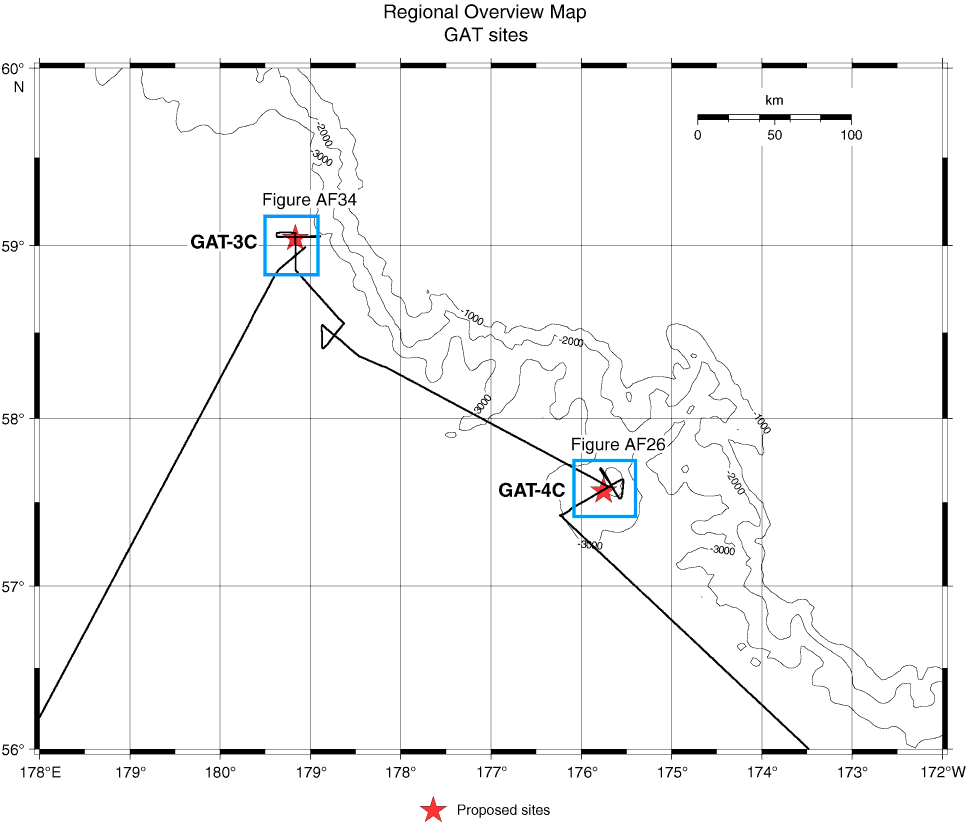
Figure AF25. Regional overview map with track chart of Hakuhou-maru Cruise KH99-3 around Sites GAT-3C and GAT-4C. Squares = areas of specific navigation maps around each site. Bathymetric contour lines created by GMT (gmt.soest.hawaii.edu) using the NGDC/NOAA ETOPO2 database (www.ngdc.noaa.gov/mgg/fliers/01mgg04.html).
Previous | Close | Next | Top of page