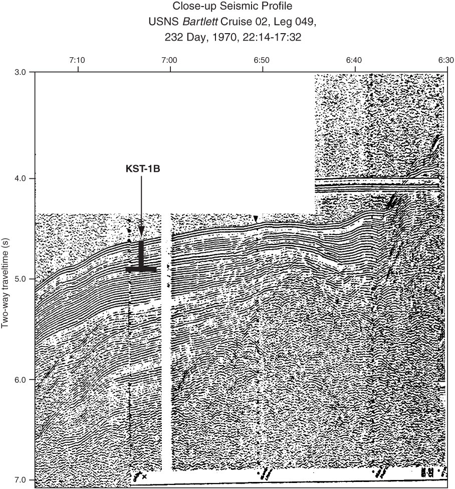
Figure AF44. Close-up seismic profile of USNS Bartlett Cruise 02, Leg 049, 232 Day, 1970, 22:14–17:32 with location of Site KST-1B (164°54.9´E, 55°55.6´N; 7:03:46; water depth = 3435 m; penetration depth = 200 m).
Previous | Close | Next | Top of page