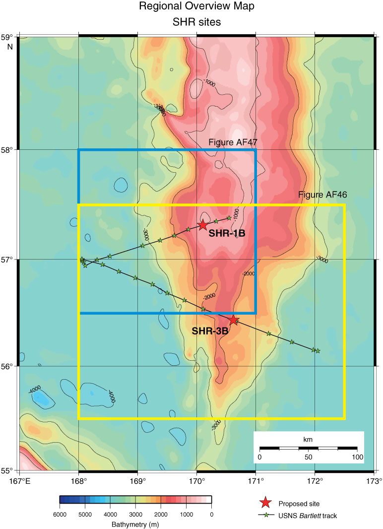
Figure AF45. Regional overview map with track chart of USNS Bartlett Cruise 02 (1970) across Sites SHR-3B and SHR-1B. Squares = study area of each site. Bathymetric image and contour line created by GMT (gmt.soest.hawaii.edu) using GINA Global Topo Data (www.gina.alaska.edu). See Figures AF46 and AF47 for detailed track information.
Previous | Close | Next | Top of page