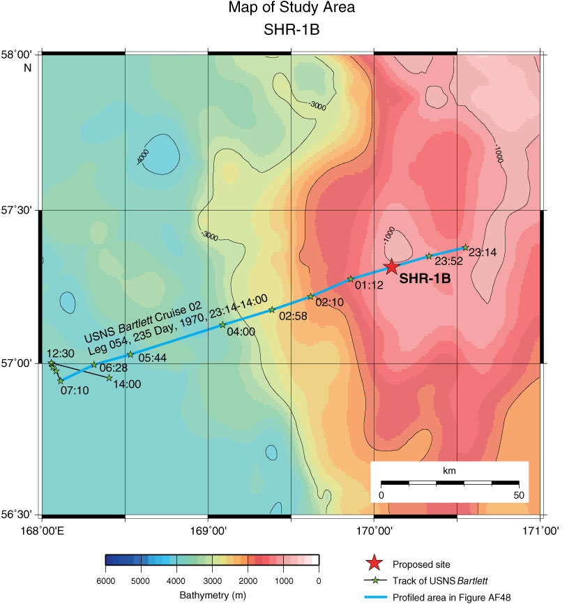
Figure AF47. Map of study area with track chart of USNS Bartlett Cruise 02, Leg 055, 236 Day, 1970, 14:00–13:15 across Site SHR-3B (170°37.2´E, 56°26.1´N; Shotpoint at 8:20; water depth = 2232 m). Bathymetric image and contour line created by GMT (gmt.soest.hawaii.edu) using GINA Global Topo Data (www.gina.alaska.edu).
Previous | Close | Next | Top of page