Previous | Close | Next
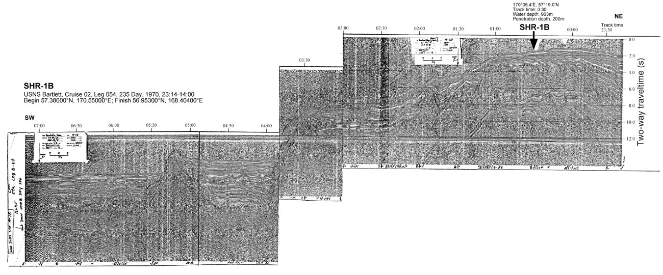
Figure AF48. Seismic profile of USNS Bartlett Cruise 02, Leg 055, 236 Day, 1970, 07:00–09:00 with location of Site SHR-3B (170°37.2´E, 56°26.1´N; 8:20; water depth = 2232 m, penetration depth = 200 m).
Previous | Close | Next | Top of page