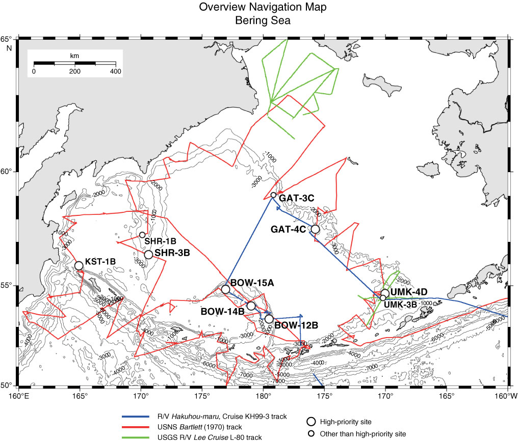
Figure F6. Three navigation tracks of seismic survey cruises over planned drill sites (circles) in the Bering Sea. Refer to "Site summaries" for site information, detailed maps, and seismic profiles. Bathymetric contour line created by GMT (gmt.soest.hawaii.edu) using the NGDC/NOAA ETOPO2 database (www.ngdc.noaa.gov/mgg/fliers/01mgg04.html).
Previous | Close | Top of page