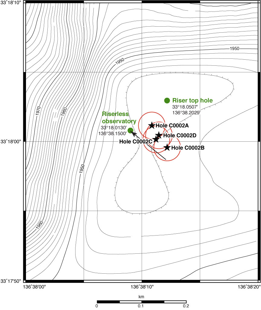
Figure F5. Bathymetric map, Site C0002. Black stars = holes drilled during previous NanTroSEIZE expeditions, red circles = 50 m radius from each hole, green circles = proposed holes for 2010 (Expedition 326 riser top hole and Expedition 332 riserless observatory).
Previous | Close | Next | Top of page