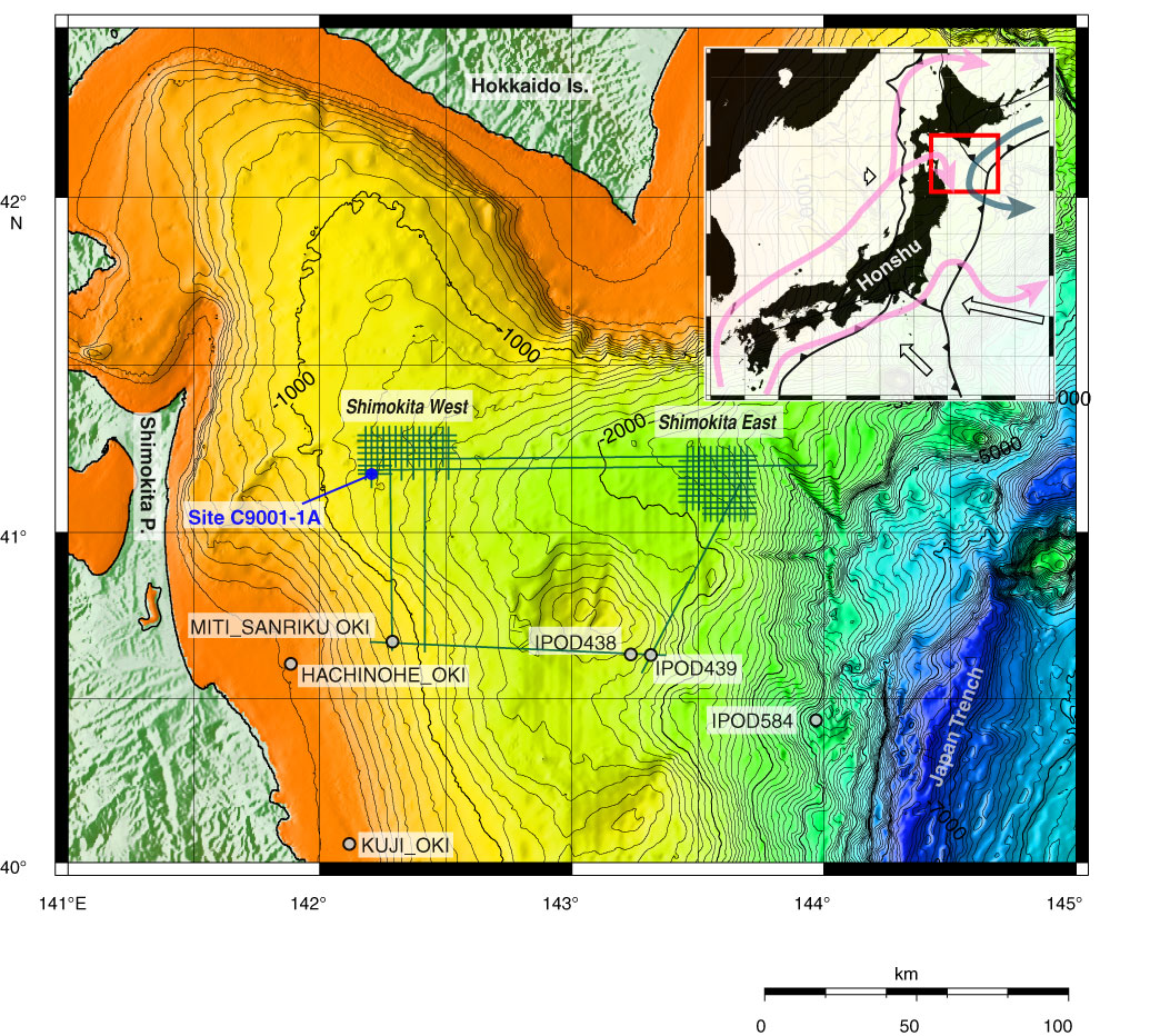
Figure F1. Index map of off Shimokita drilling test area with bathymetry, seismic survey track lines, and locations of existing drill holes. Hydraulic piston coring system coring locations (Sites C9001 and C9002) drilled in late November 2005 are also indicated. Inset map exhibits plate configuration around Japanese Islands and the location of the index map (red square).
Close | Next | Top of page