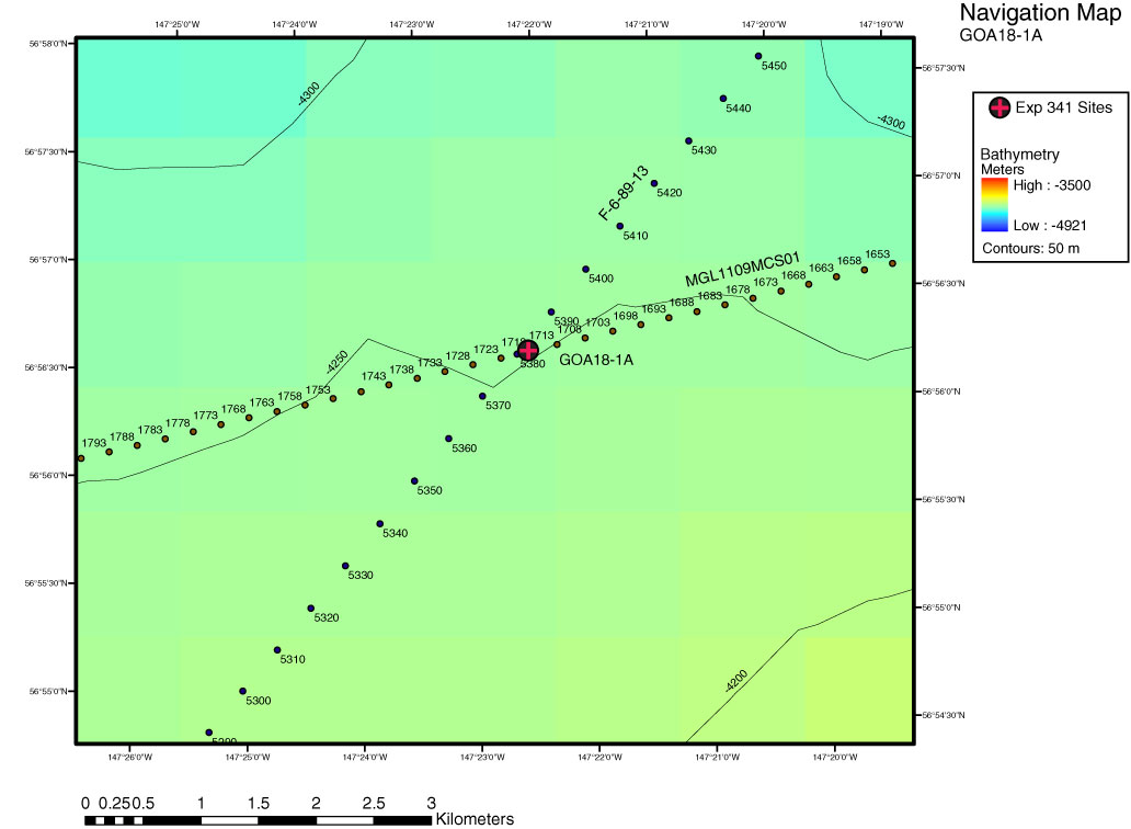
Figure AF20. Close-up navigation map of proposed alternate Site GOA18-1A, showing seismic reflection Profiles MGL1109MCS01 (Fig. AF21) and F-6-89 Line 13 (Fig. AF23). GOA18-1A is located at crossing point of MGL1109MCS01 (Shot 1723) and F-6-89 Line 13 (Shot/CDP 5380). This intersection is located at 56.94°N, 147.38°W in 4262 m water depth.
Previous | Close | Next | Top of page