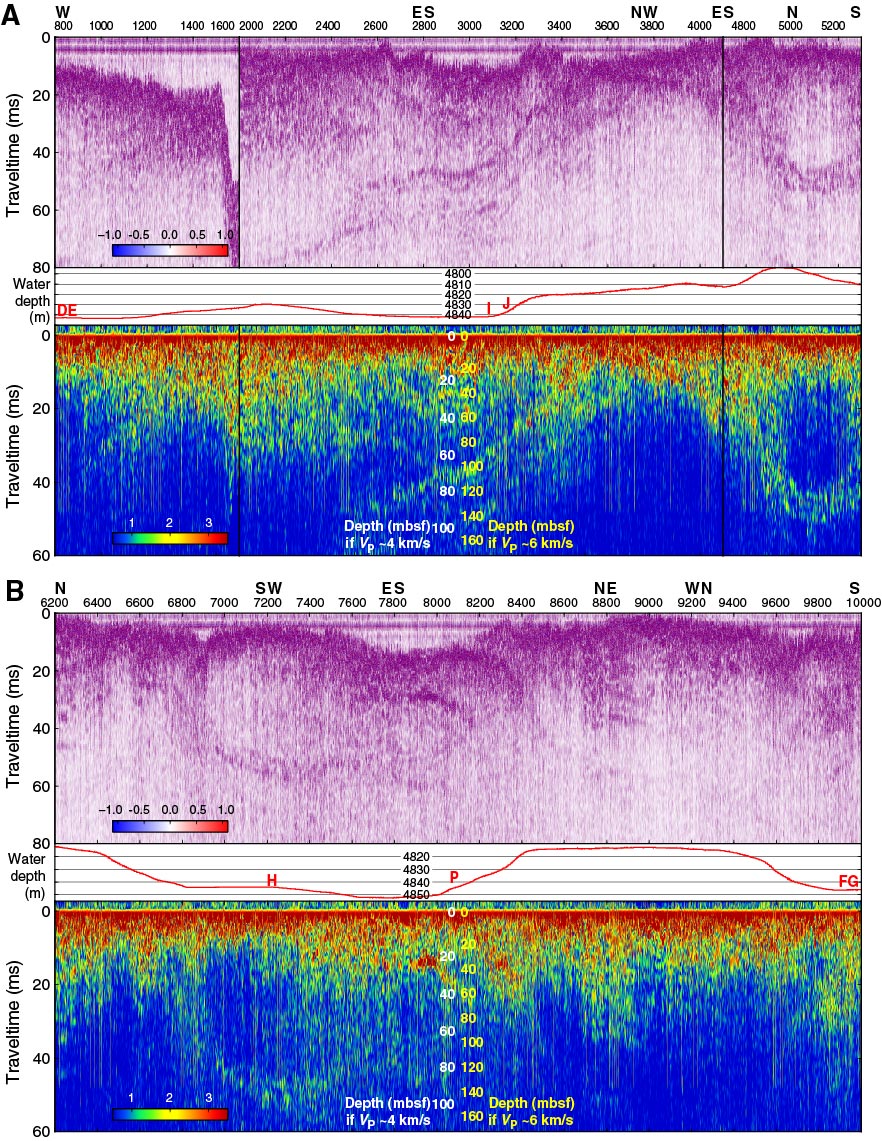
Figure F7. Subbottom profiler data recorded during the 26 December 2012 survey, Expedition 345. A. Western section of the survey (blue in Fig. F6). B. Eastern section (red in Fig. F6). See Figure F5 for details. The approximate locations of Holes U1415D–U1415P, all near this survey track, are shown on the bathymetry profile.
Previous | Close | Next | Top of page