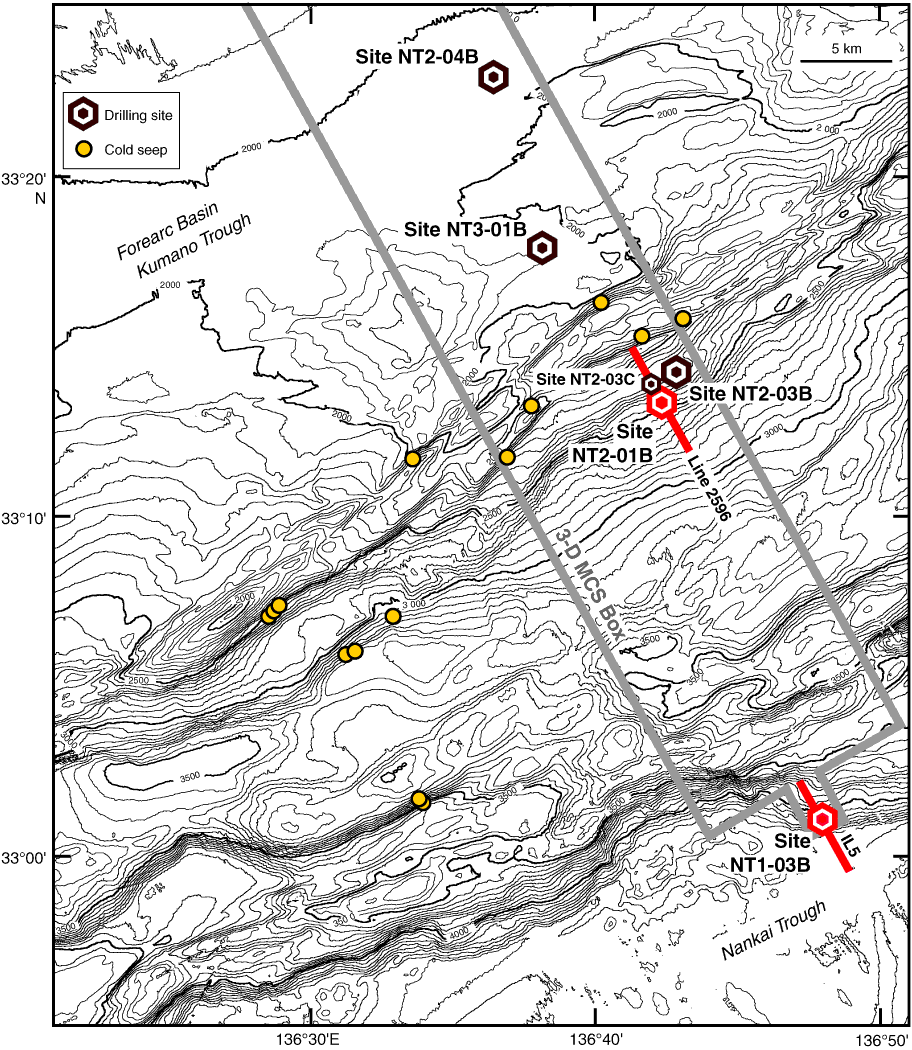
Figure F5. Bathymetry, drill sites, and location of high-resolution three-dimensional seismic survey (gray box). Red dots = Holes NT2-01B and NT1-03B, red lines = seismic lines used for this Scientific Prospectus.
Previous | Close | Next | Top of page