Previous | Close | Next
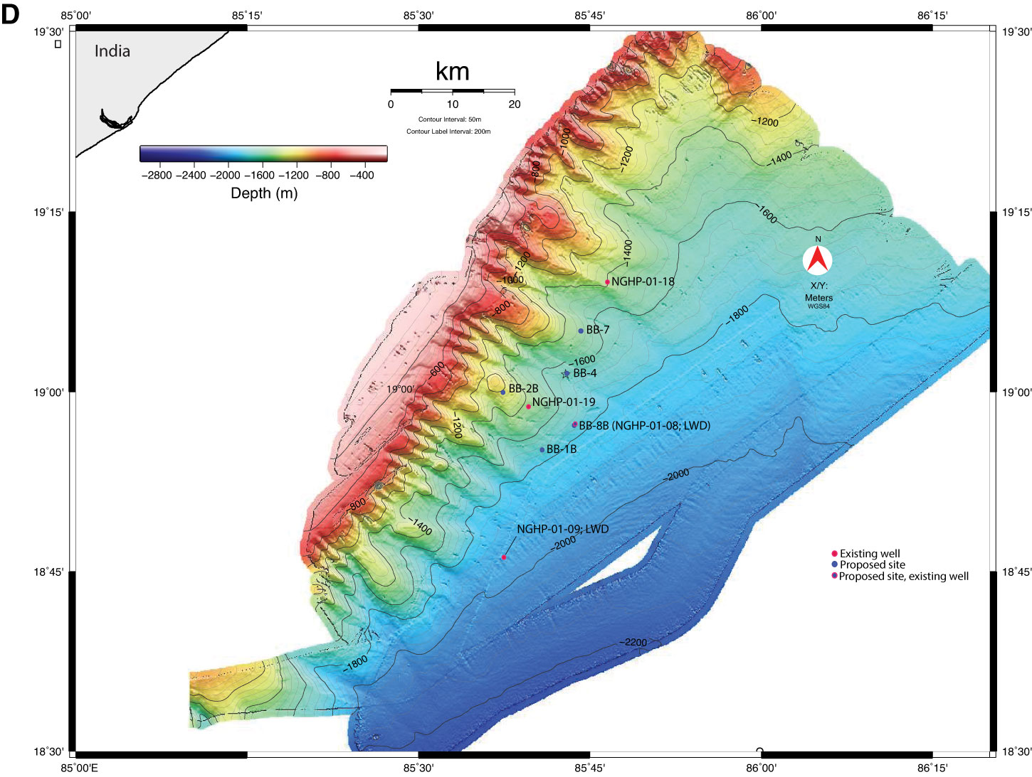
Figure F1 (continued). D. Detailed bathymetry showing proposed site locations and existing National Gas Hydrate Program (NGHP) well locations. Bathymetric map after Mazumdar et al. (2014).
Previous | Close | Next | Top of page