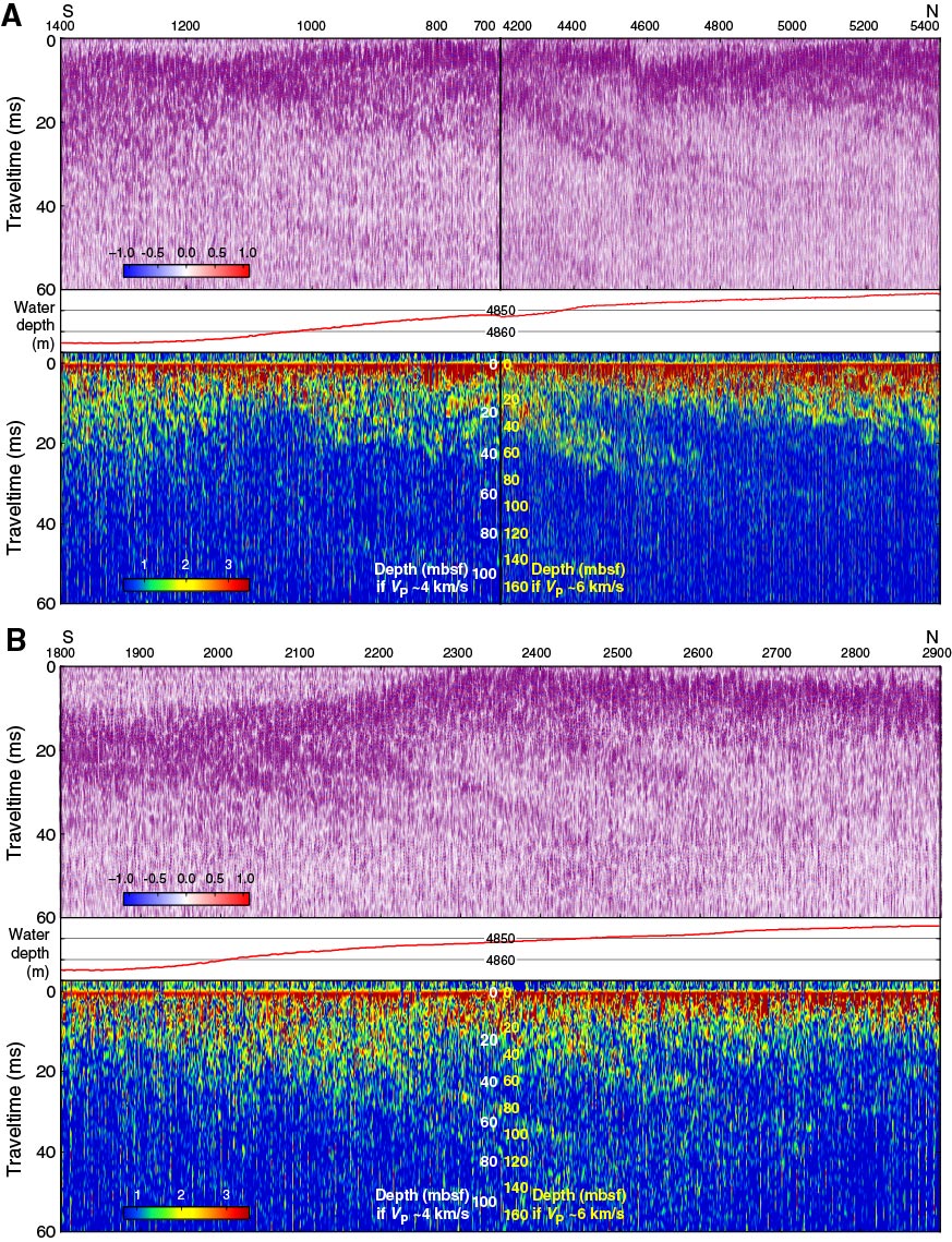
Figure F12. Subbottom profiler data recorded along two north–south sections of the 25 January 2013 survey, Expedition 345. A. Central and eastern side (green in Fig. F11, combining two segments). B. Western side (cyan in Fig. F11). See Figure F5 for details. The approximate location of Hole U1415O is shown on the bathymetry profile.
Previous | Close | Next | Top of page