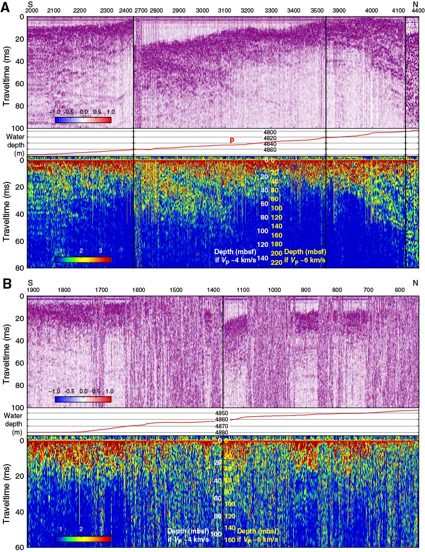
Figure F13. Subbottom profiler data recorded along the two north–south branches of the 5 February 2013 survey, Expedition 345. A. Eastern branch (red in Fig. F11). B. Western branch (purple in Fig. F11). See Figure F5 for details. The approximate location of Hole U1415P is shown on the bathymetry profile.
Previous | Close | Top of page